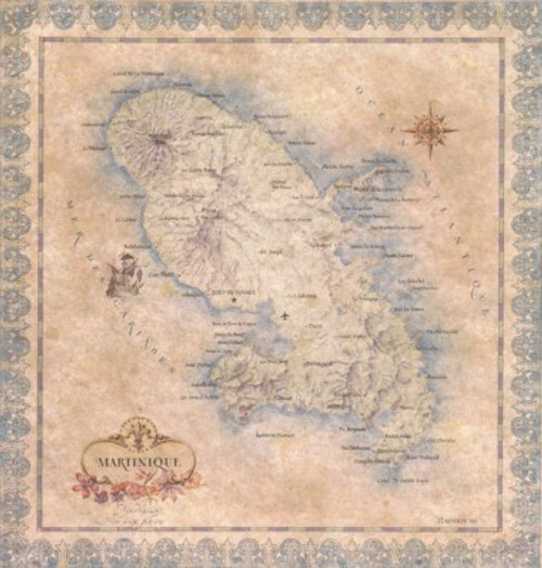

Martinique is a mountainous island lying in the Lesser Antilles about 300 mi (483 km) northeast of Venezuela.
Martinique became a domain of the French crown in 1674. It became an overseas department of France in 1946. Fort-de-France is the capital.
Martinique's sugar exports made it one of France's most valuable colonies; although slavery was abolished in 1848, sugar continued to hold a dominant position in the economy.
A target of dispute during the Anglo-French worldwide colonial struggles, Martinique was finally confirmed as a French possession after the Napoleonic wars.
In 1902 an eruption of Mt. Pelée destroyed the town of St. Pierre.
This map measures 18” x 24”.
All of our antique style maps are printed on quality parchment paper and frame beautifully.
We can assure you that they are much more beautiful in person than we are ever able to show.
Call Us At
1-888-539-7599